Free Blank Map of Africa Template for PowerPoint & Google Slides
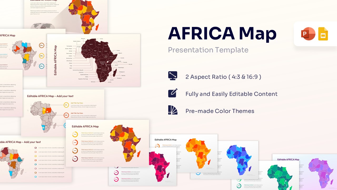


Editable Colorful Africa Map
Template Details: This PresentoVerse Free Blank Map of Africa Template is available to download and use. Moreover, it can be seamlessly edited on Microsoft PowerPoint and Google Slides. Explore our editable continent map slides for more options.
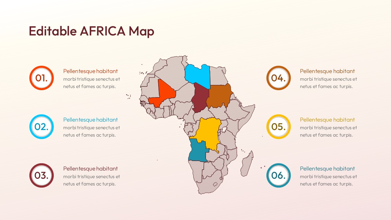
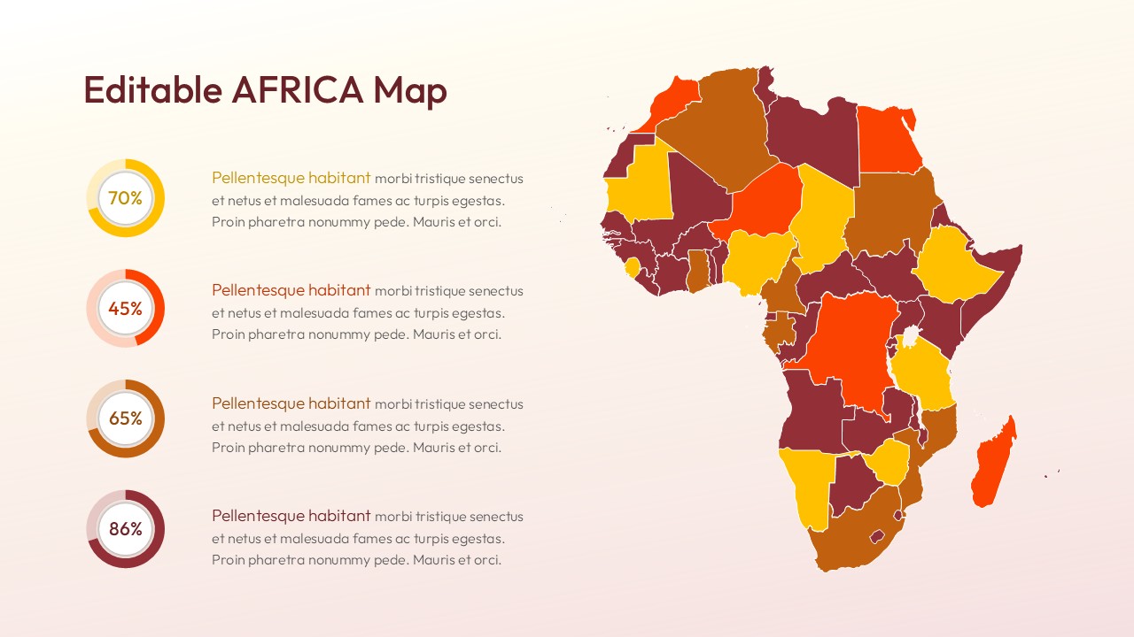
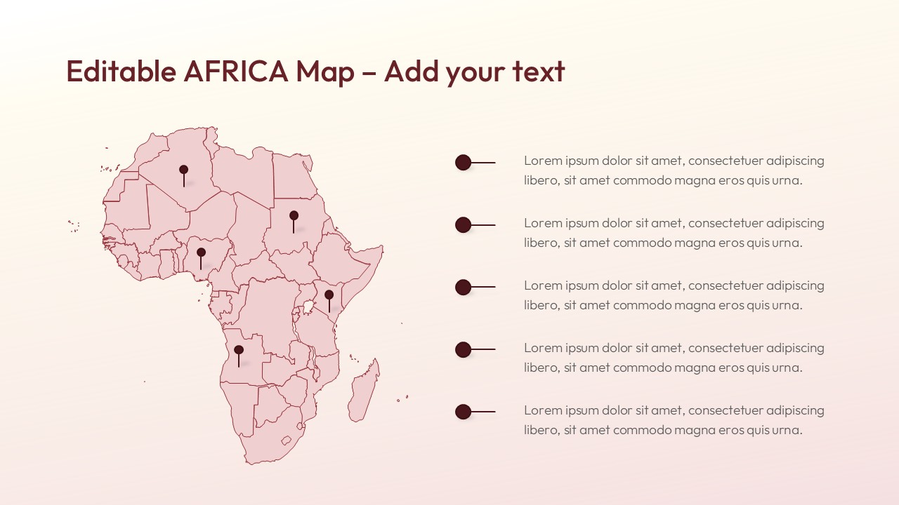
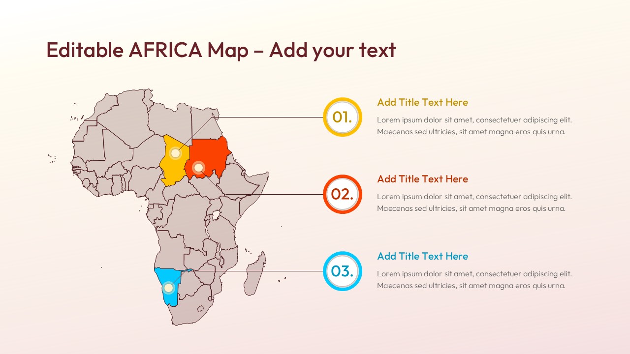
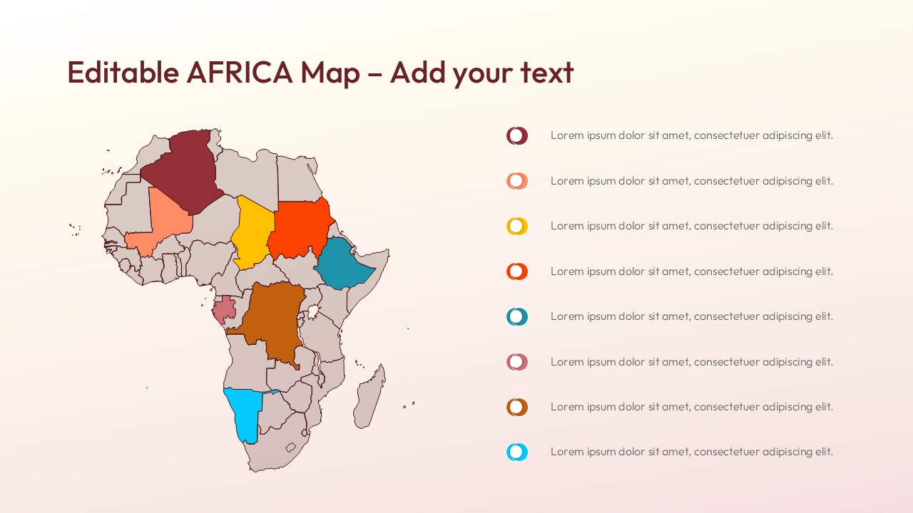
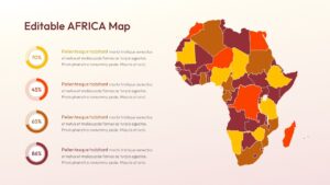
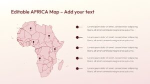
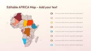
Design Strategy: Utilize this layout to effectively display geographic reach, market share, or demographic data across the African continent. Users can present specific regional insights using customizable pins and color-coded territories.
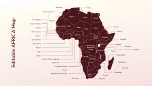
Visual Elements: This Map templates features a warm color palette of reds and yellows alongside clear sans-serif typography. High-quality vector graphics include location pins, data charts, and distinct regional borders.
Recommended Usage: Global businesses can use this to track regional sales or teach demographics. Discover more geographic data presentation designs to enhance your next corporate briefing.
Key Features
- 100% Vector-Based Graphics
- Fully Layered & Organized
- Multi-Platform Support
- Theme Color & Theme Font
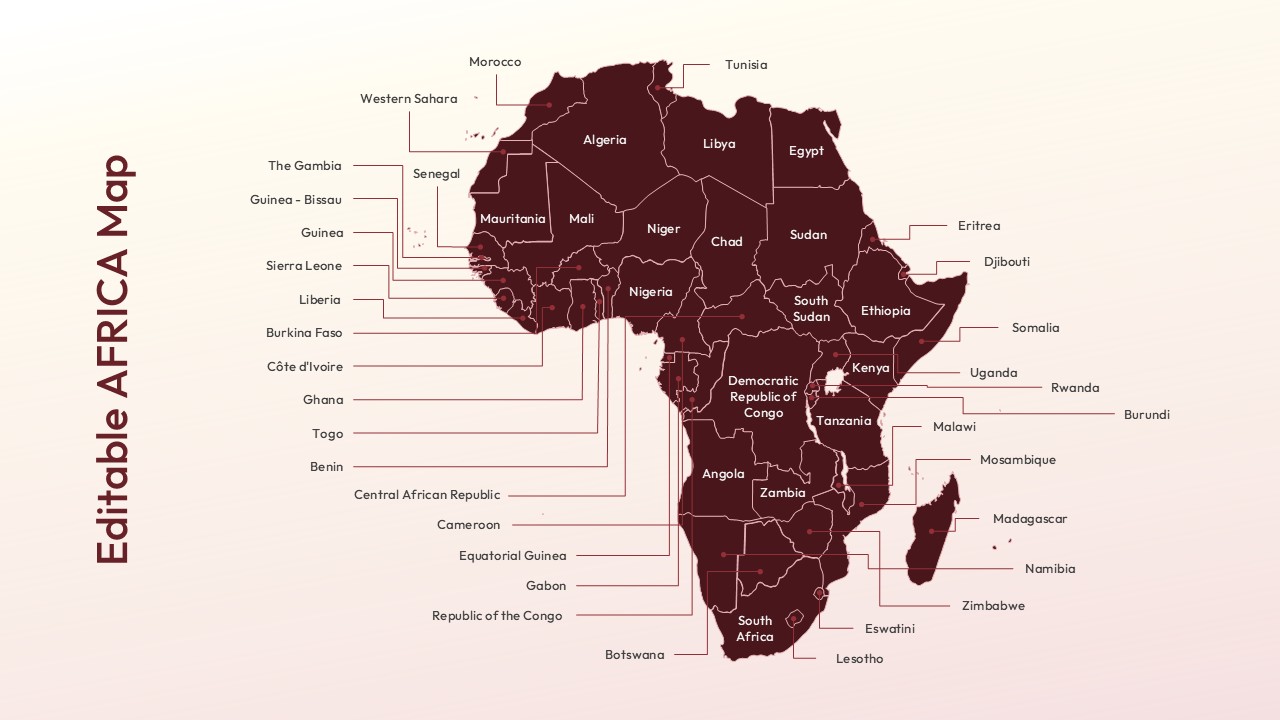
- Editable Country Borders
- Customizable Map Markers & Pie Charts
Frequently Asked Questions
- Can I change the color of individual countries?
- Yes, every country is a separate vector shape, allowing you to change colors or move individual elements to highlight specific areas of interest.
- Is this template compatible with both Mac and PC?
- Absolutely. It works seamlessly on PowerPoint for both Mac and Windows, as well as on Google Slides through any web browser.
- Do I need advanced design skills to use this map?
- Not at all. We’ve designed this to be \"plug-and-play.\" If you can click and drag, you can customize this map to look like a pro deck.
Related Templates
-
-
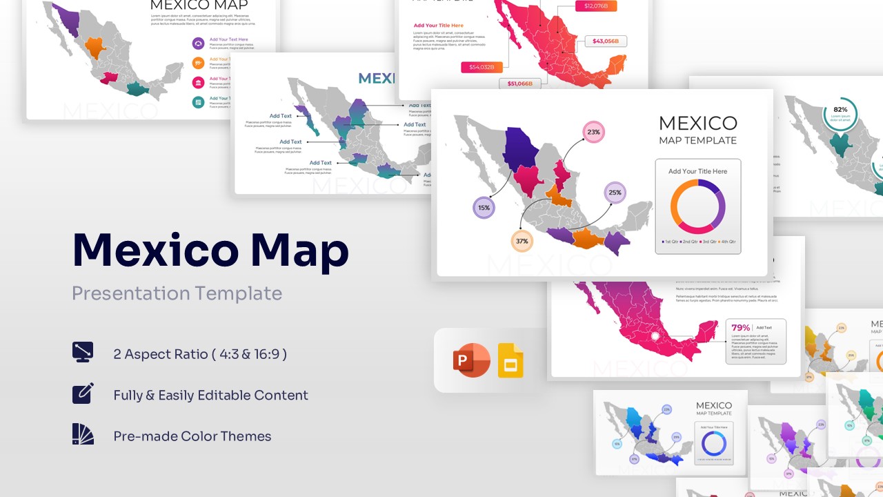
Free Mexico Map for PowerPoint & Google Slides
Country Maps
Free -
 Free
Free -
 Free
Free