Haiti Map Template: Free PowerPoint & Google Slides Presentation
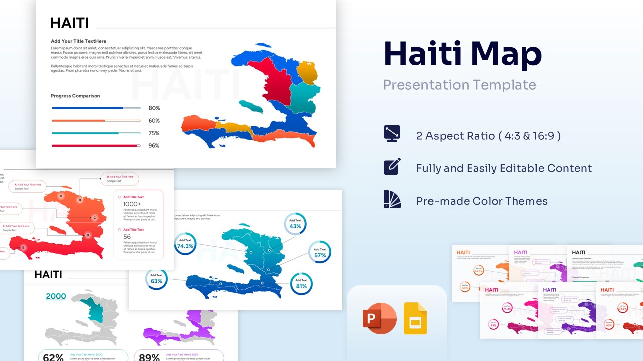

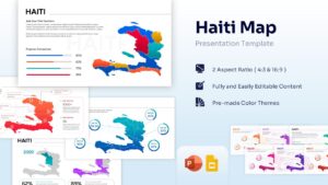

Map of Haiti with Data Visualization
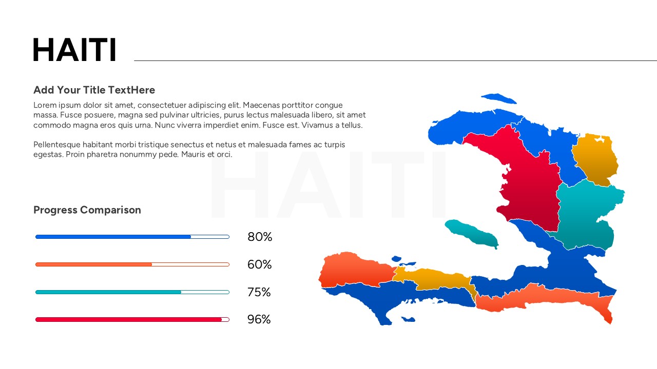
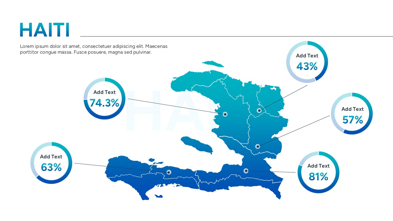
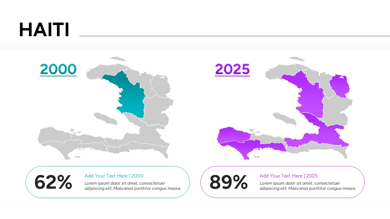
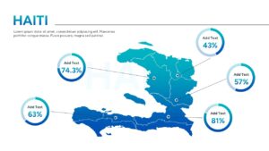
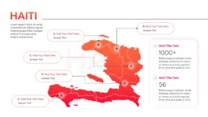
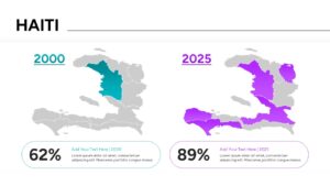
Streamline your regional data visualization with our professionally engineered Free Haiti Map Template, a comprehensive premium country map deck designed to transform geographic insights into impactful visual narratives. Built specifically for business analysts, educators, regional project managers, and expansion teams, this focused presentation tool provides clear, vector-based map designs to display administrative boundaries, local statistics, and regional updates. Whether you need to showcase supply chain logistics across the Caribbean, highlight target sales territories, or deliver educational lectures on the region, this pre-designed deck simplifies your workflow by eliminating the need to build technical map shapes from scratch.
Every individual Haiti Map Template in this set is an authentic vector asset, ensuring users enjoy 100% editability and compatibility across both Microsoft PowerPoint and Google Slides. You can effortlessly adjust individual regional boundaries, ungroup shapes, apply custom brand color palettes, and rescivify layout aspect ratios between 4:3 standard and 16:9 widescreen formats without encountering pixelation or loss of asset quality.
Don’t spend valuable hours trying to trace complex international borders or format tedious data layouts by hand. Empower your next business review, educational webinar, or field operation report with a polished, highly dynamic presentation framework. Download your premium Map of Haiti Template today, insert your localized metrics in seconds, and deliver an unforgettable presentation to your stakeholders.
Key Features
- 100% Vector-Based Graphics
- Fully Layered & Organized
- Multi-Platform Support
- Theme Color & Theme Font
Frequently Asked Questions
- Can I edit the color of individual departments in this Haiti map?
- Yes, every department is a separate vector shape. You can click on any specific region and change its color using the standard fill tools in PowerPoint or Google Slides.
- Is this template compatible with both widescreen and standard formats?
- Absolutely. The template is provided in both 4:3 and 16:9 aspect ratios to ensure it looks great on any projector or monitor.
- Do I need advanced design skills to use these map infographics?
- Not at all. The template is designed for ease of use. If you can click and type, you can customize these maps to fit your presentation needs.
Related Templates
-
-
 Free
Free -
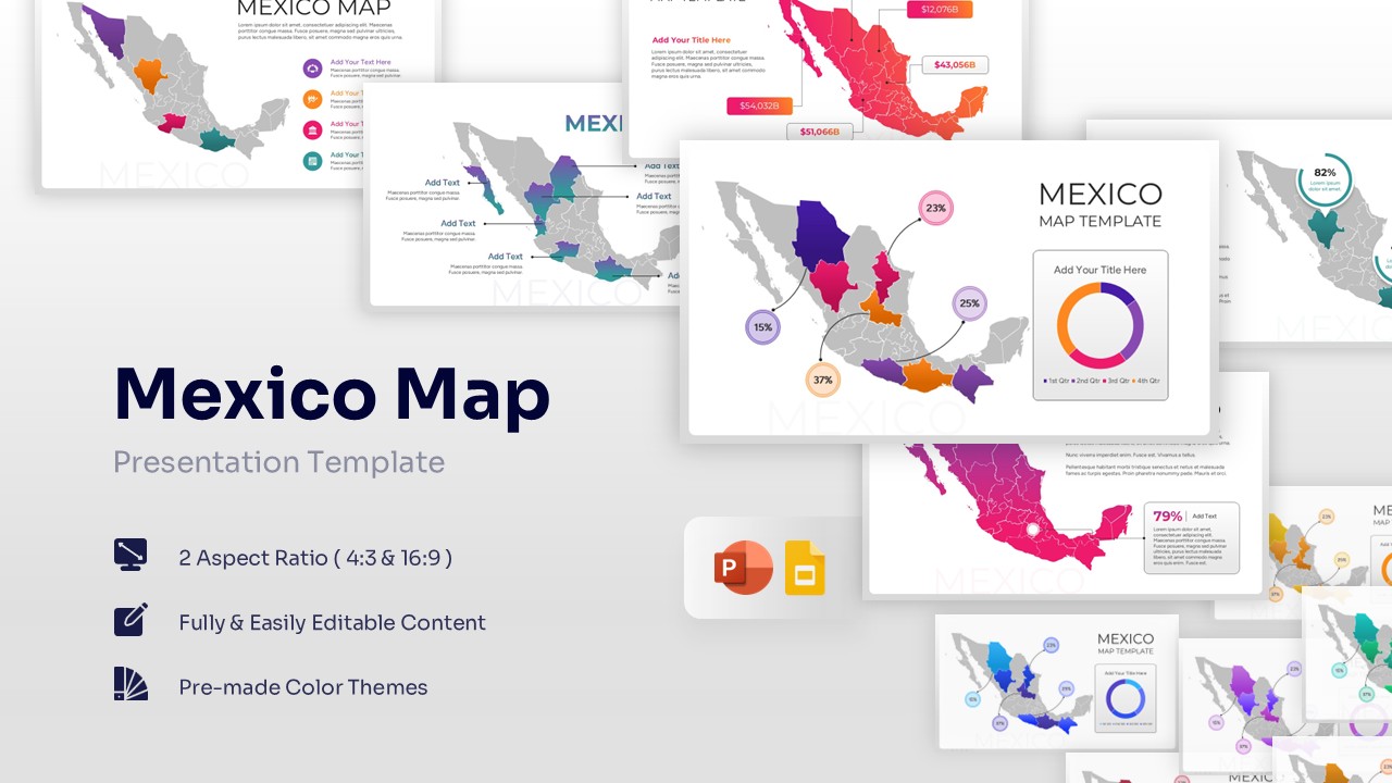
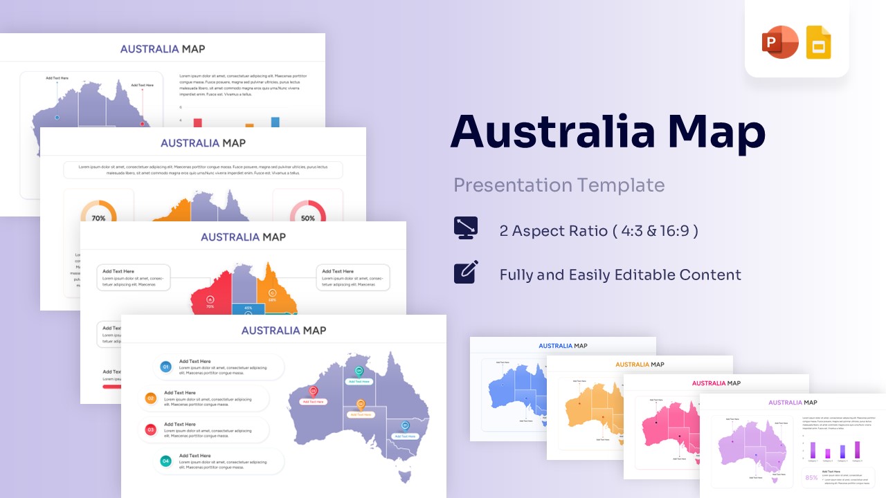
Free Mexico Map for PowerPoint & Google Slides
Country Maps
Free -
 Free
Free