Free Europe Map Template for PowerPoint & Google Slides

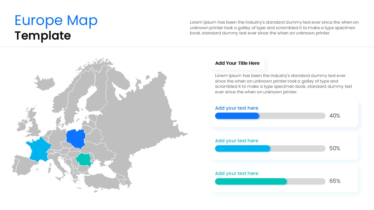

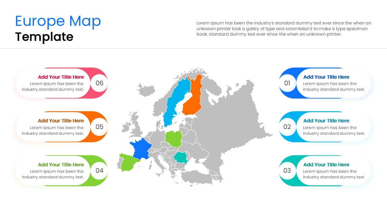
European Geography Map
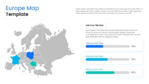
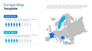
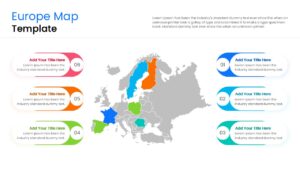
Map out your continental strategy and track international growth with this Free Europe Map Template, a premium continent map template designed to highlight different regions and countries across Europe. Perfect for international sales directors, supply chain managers, growth marketers, and researchers, this European map template provides a highly versatile, ready-to-use framework to visualize cross-border logistics, territory performance, and pan-European market expansion plans with ultimate clarity. Whether you are pitching a retail expansion to stakeholders, detailing a transnational supply chain route, or presenting demographic research, these slides turn complex regional data into an engaging, professional narrative.
Who Should Download this European Continent Map
- International Sales Directors & Business Development Managers: Ideal for mapping out European sales territories, tracking country-level revenue milestones, setting regional quotas, and pitching cross-border expansion proposals to stakeholders.
- Global Marketing Strategists & Growth Hackers: Perfect for visualizing pan-European marketing campaign rollouts, analyzing regional consumer demographics, mapping target audience segments, and presenting localized market penetration data.
- Logistics, Supply Chain & Operations Heads: A seamless visual toolkit to outline cross-border transit routes, illustrate national distribution networks, highlight warehouse hub locations, and map out European supply chain pathways.
- Academic Researchers, Educators & Policy Analysts: Provides a clean, highly scannable canvas to display complex economic indicators, public health data, socio-political trends, or environmental studies across the continent.
- Corporate Executives, Startup Founders & Consultants: The ultimate asset for delivering high-stakes boardroom pitches, quarterly business reviews (QBRs), or international market entry strategies with polished, executive-level authority.
Don’t let your international growth strategies or complex European metrics get bogged down in text-heavy spreadsheets. Bring clean, executive geographic design directly to your next boardroom pitch and keep your stakeholders focused on key growth areas. Get this PresentoVerse Europe Map and present your continental insights with ultimate clarity!
Key Features
- 100% Vector-Based Graphics
- Fully Layered & Organized
- Multi-Platform Support
- Theme Color & Theme Font
- High-Definition 16:9 Aspect Ratio
Frequently Asked Questions
- How do I highlight a specific country in this Europe map?
- Simply click on the individual country shape and change its fill color using the standard formatting tools in PowerPoint or Google Slides.
- Are the country borders accurate in this template?
- Yes, the template uses high-quality vector outlines that represent the major political boundaries of the European continent.
- Can I use these maps for a commercial business presentation?
- Absolutely; these slides are designed specifically for professional and corporate environments to ensure a polished look.
Related Templates
-
-
 Free
Free -
 Free
Free -